Around the river Vecht
2 hour 30 minutes
(43 km)
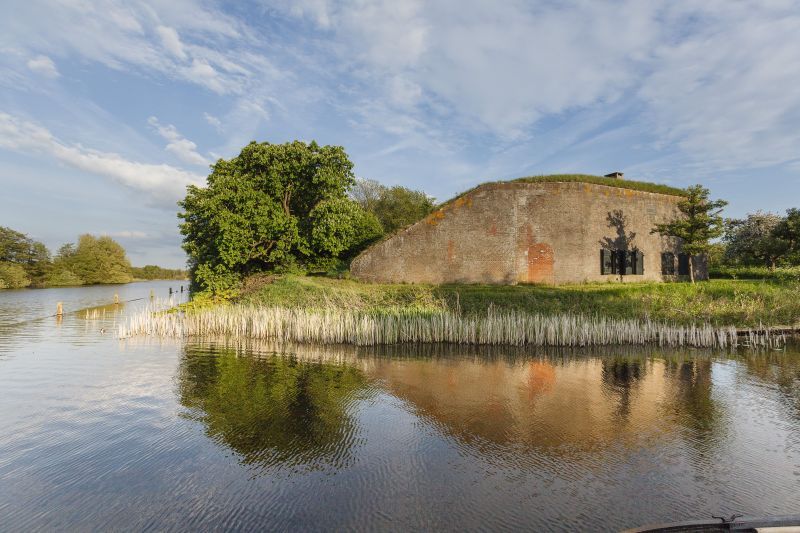
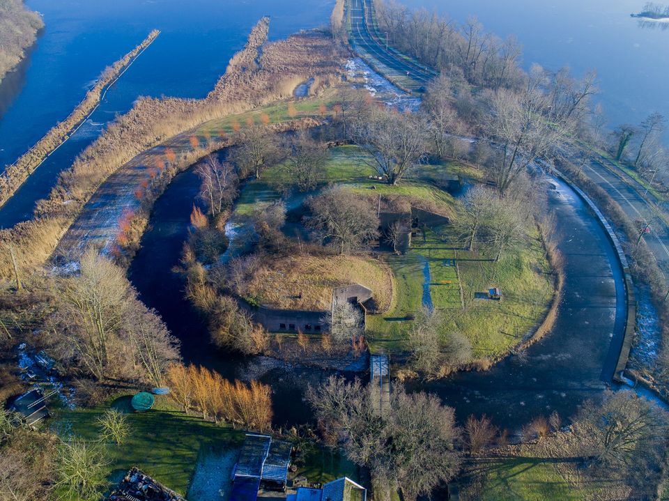
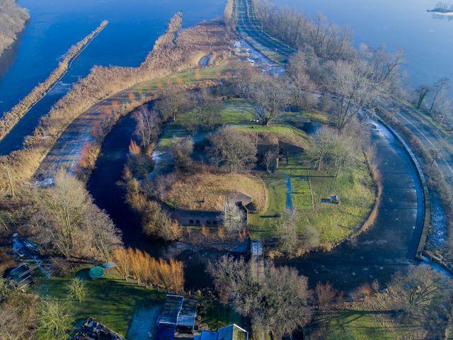
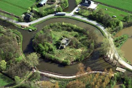
The Dutch Water Line's main weapon was water: the defences strung along a long line of forts, canals, sluices and dykes. These could be used to inundate land to stop the enemy in its tracks. Part of the Water Line runs through land managed by the Regional Public Water Authority Amstel, Gooi en Vecht. The River Vecht and Vecht lakes played an important role in the Water Line.
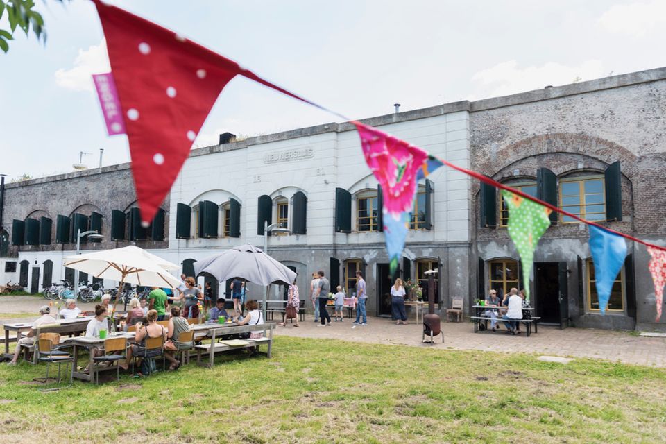
Discover the Water Line by bike and learn more about the fascinating history.
Take a look


Locations on this route
25
2

84
85
23
27
49
48
73
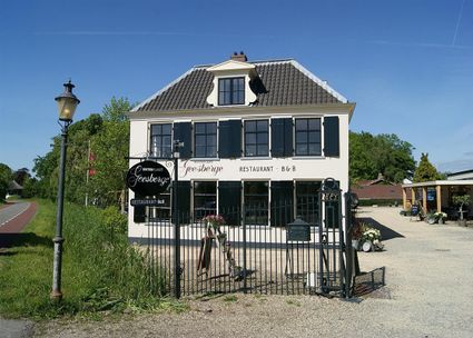
Herenweg 53
3602 AN Maarssen
3602 AN Maarssen
62
45
79
46
Diependaalsedijk 17
3601 GH maarssen
3601 GH maarssen

87

84
2
25
76
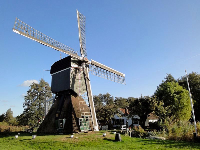
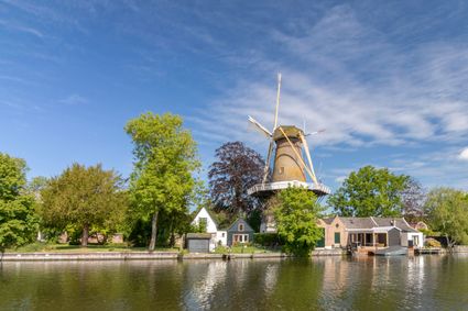
Molen de Hoop
Dorpsstraat 106
3632 AW Loenen aan de Vecht
Dorpsstraat 106
3632 AW Loenen aan de Vecht
4
95
3
6
5
7
- 25
- 2
- 84
- 85
- 23
- 27
- 49
- 48
- 73
- 62
- 45
- 79
- 46
- 87
- 84
- 2
- 25
- 76
- 4
- 95
- 3
- 6
- 5
- 7